Indonesia
Indonesia’s Megathrust Map Identifies 14 Zones, but No Earthquake Date
An updated hazard map and research on Japan’s Nankai Trough have renewed attention on how Indonesia monitors strain along its offshore faults.
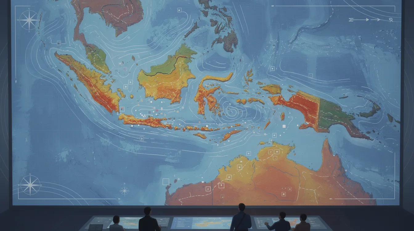
Indonesia’s 2024 earthquake-source and hazard map identifies 14 megathrust zones, an increase from the 2017 map, according to CNBC Indonesia. The revised count describes how the hazards are mapped; it does not mean new faults have suddenly formed. Geologist Gayatri Indah Marliyani told BBC News Indonesia that megathrust zones have existed for millions of years as part of the country’s tectonic system.
A megathrust is a fault at a boundary where one tectonic plate moves beneath another, Gayatri explained. Indonesia’s mapped system extends along western Sumatra and south of Java and the Nusa Tenggara islands, according to BBC News Indonesia. CNBC Indonesia reported that the new map assigns a maximum potential magnitude of 9.2 to the Aceh–Andaman zone and 9.1 to the Java zone. Those figures describe potential scenarios, not forecasts of an earthquake’s size or timing.
Indonesia’s Meteorology, Climatology and Geophysics Agency has drawn attention to seismic gaps in the Sunda Strait and Mentawai–Siberut zones. In an official statement cited by CNBC Indonesia, the agency noted that a long interval without a major earthquake indicates stored energy, but it does not imply that one will occur soon. The Bandung Institute of Technology has also reported that evidence from historical earthquakes is less complete for the Sunda Strait than for Mentawai, while stressing that this does not remove the Sunda Strait’s earthquake potential.
Researchers are looking at ways to measure strain more closely. Kosuke Heki of Japan’s Hokkaido University told Indonesia’s National Research and Innovation Agency that satellite-navigation measurements and seafloor geodesy can track deformation around subduction zones, according to CNBC Indonesia. Drawing on observations from Japan’s Nankai Trough, he also discussed slow movements along a plate boundary that researchers are studying for their possible relationship to larger earthquakes. He did not offer a date for an Indonesian earthquake.
For communities near the coast, the distinction between monitoring a hazard and predicting a disaster is crucial. Gayatri told BBC News Indonesia that discussions about megathrust risk should focus on whether people are prepared if an earthquake occurs. Avianto Amri, head of the Indonesian Disaster Management Society, emphasized that spending on prevention and mitigation can reduce future casualties and losses.
In contrast, Indonesian coverage has stressed the need for heightened public awareness and preparedness in the face of potential megathrust earthquakes. Daryono, a member of the Indonesian Disaster Experts Association, noted that citizens should shift their mindset from waiting for an earthquake to ensuring they are ready when one occurs. He highlighted that while earthquakes cannot be prevented or precisely predicted, understanding the risks and preparing mitigation strategies can significantly reduce casualties.
According to Daryono, specific megathrust zones, such as the Mentawai-Siberut and Mentawai-Pagai segments in West Sumatra, theoretically have the potential for earthquakes of magnitude Mw8.9. He explained that the movement of the Indian-Australian Plate continues to push beneath the Sunda Plate, accumulating stress over time. This slow movement, imperceptible in daily life, can lead to significant energy buildup over decades or centuries.
Furthermore, Daryono's research indicates that the tectonic processes in the Mentawai region are still active, with ongoing strain accumulation. He cautioned that while the potential for large earthquakes exists, it is not a prediction that such events will happen imminently. He emphasized that communities in Mentawai and coastal West Sumatra should be aware of evacuation routes and safe buildings, especially given that megathrust earthquakes can trigger tsunamis.
While both Indonesian and international coverage agree on the importance of monitoring seismic activity and understanding potential risks, Indonesian outlets frame the conversation around immediate community preparedness and proactive measures to mitigate disaster impacts. Daryono's insights serve as a reminder that while the science of predicting earthquakes remains elusive, enhancing societal readiness is paramount. Indonesian media, particularly CNBC Indonesia, has underscored the urgency of public education on disaster preparedness, contrasting with more analytical international reports focused on the scientific aspects of seismic monitoring.